
Subscribe
Alert Me when new Data Products are available


Geographic data can be used to determine a variety of characteristics of a population. Information gleaned from research using geographic data enables you to compare basic details such as economic status, average age, and ethnic diversity in different areas of the country.
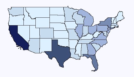
Our census and demographic products at GeoLytics enable you to study thousands of variables on a large and small scale basis. For instance, you can focus on geographic boundaries at a state level, comparing aspects of the Texas population to that of Massachusetts. You can determine growth trends in the area, and even gauge certain spending tendencies among consumers.
Click Here to run demographic data reports and maps!
However, our products allow you to perform even more specific analysis. You can look at a particular section of a city, down to the census block level. This allows you to get a clear picture of a city's makeup. This type of geographic data can be used effectively by businesses to develop marketing campaigns and to plan for future development.
All of our products are easy to use, and they allow you to conduct searches and develop studies that work for you. They also have a range of functions including map generation and data exporting. Our materials include data sets and geographic boundaries dating back to 1970, so you can fully study modern growth and housing trends. Contact us at 1-800-577-6717 to learn more about the most effective uses for geographic data.